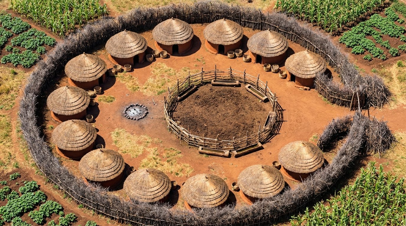
This map depicts a traditional highland tribal village from the 1920s, consisting of a central complex of dried mud huts with thatched roofs. A high palisade made of sturdy stakes and thorny bushes surrounds the settlement, offering excellent defensive cover and creating a natural chokepoint at the main entrance. Livestock pens are situated safely within the perimeter, while expansive fields of maize and yams spread out beyond the walls, providing areas of light obscurement and difficult terrain for approaching investigators or cultists. Tactically, the map provides a stark contrast between the open, exposed agricultural fields and the claustrophobic, tightly-packed interior of the village. The thorny palisade acts as a hard barrier, blocking line of sight and movement, while the mud huts offer solid cover and potential hiding spots. VTT users can leverage dynamic lighting to simulate the harsh highland sun or the eerie glow of ritual fires illuminating the village center at night.